Forest management
Our high-resolution and multispectral visual sensors let us map forests, and monitor and manage the health of forests and wildlife.
GEOspatial
Drawing on geospatial science that combines GIS, remote sensing and photogrammetry expertise, XplorGeo delivers tailored solutions. Our data is collected from high-resolution drones and satellites.
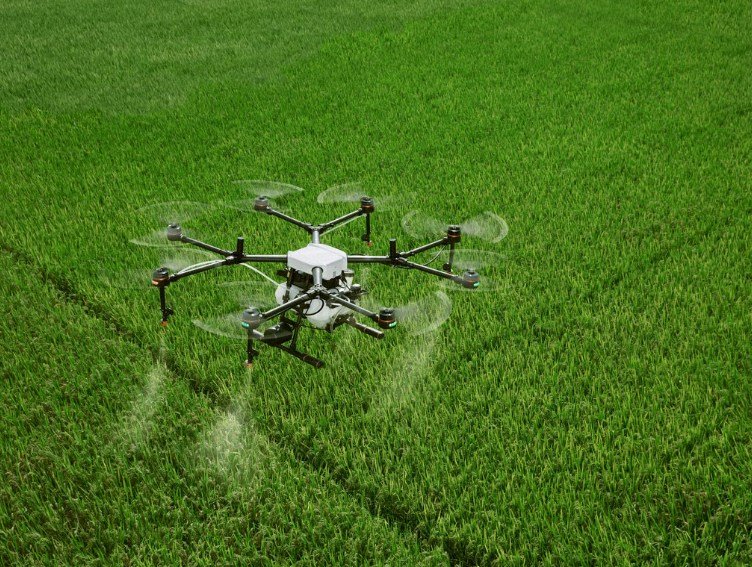
Using our collected data, any area can be represented on maps for crop monitoring.
The maps we create for your area help you with:
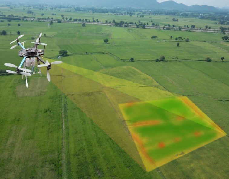
Using our collected data enables detailed, large-scale surveys of natural resources, providing accurate maps and models as well as telemetry data.
Our high-resolution and multispectral visual sensors let us map forests, and monitor and manage the health of forests and wildlife.
Aerial imagery is used to classify water bodies, estimate water coverage and monitor wastewater.
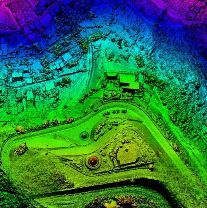
Our drones rapidly collect precise, georeferenced data, while our photogrammetry software experts process it to deliver standardized outputs.
Our high-resolution drone solutions increase the speed and efficiency of data collection to produce accurate maps at the required scale. XplorGeo specialises in cadastral and topographic surveys.
We produce the following deliverables:
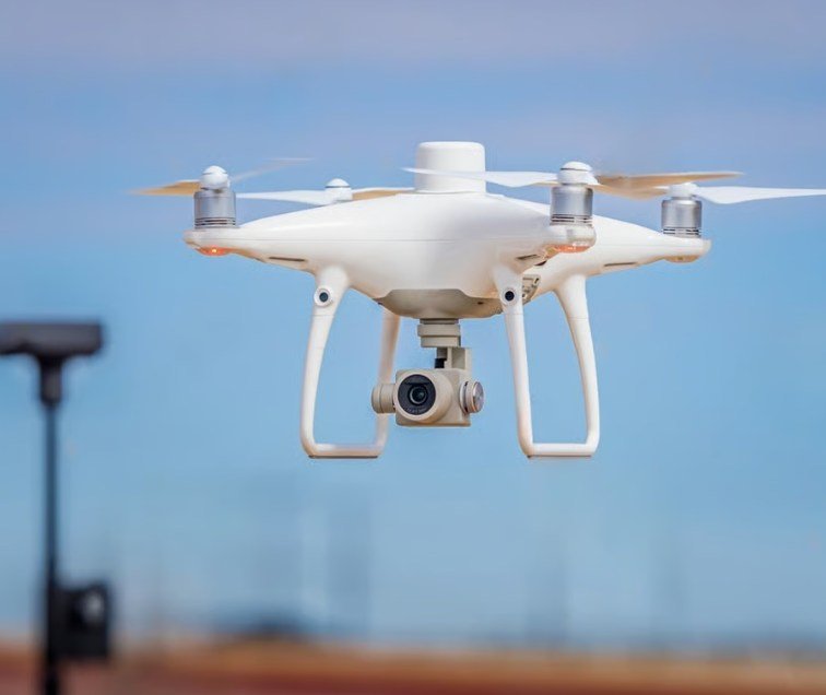
Drone data creates accurate 2D and 3D models that integrate seamlessly with local geographic information systems, letting teams visualise results.
XplorGeo designs and plans 3D reality models more efficiently, accurately reflecting terrain and architecture. Rapidly flying over cities or rural areas with automated flights reduces field costs and hours, and supports:

XplorGeo maps, models and inspects your construction and infrastructure projects with drone solutions, letting you automate workflows and digitise your assets.
Our 2D and 3D maps help your teams optimise project planning and design.
Our maps keep your teams fully informed of site progress and resource allocation, helping keep projects on schedule and on track.
XplorGeo maps and models buildings quickly by drone to digitise the inspection and maintenance process, cutting costs while keeping personnel safe.
Contact
Let's talk about your mapping, imagery and modelling needs — our team will get back to you.