GEOlogy
Mineral exploration: permit acquisition and assessment, exploration programme execution, resource modelling and estimation.
View the services
Geology · Geospatial · Geomarketing
XplorGeo explores innovative techniques and delivers tailored solutions to make your data reliable and secure your decisions.

Our expertise
Expertise
XplorGeo brings together exploration geology, geospatial science and geomarketing to turn field data into reliable decisions.
Mineral exploration: permit acquisition and assessment, exploration programme execution, resource modelling and estimation.
View the servicesGIS, remote sensing and photogrammetry for agriculture, resource management, surveying, land-use planning and infrastructure monitoring.
View the solutionsGeospatial data for economic activity: mapping of companies, catchment areas, site selection and route optimization.
View the services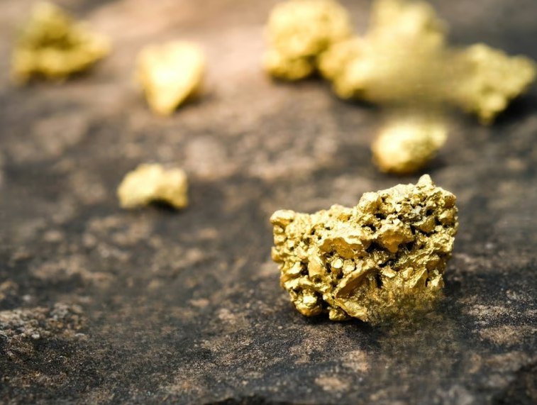
GEOlogy
A team of experienced professionals supports you at every stage, from permit to resources. Our services and know-how:
GEOspatial
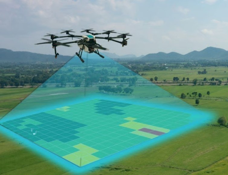
Drawing on geospatial science that combines GIS, remote sensing and photogrammetry expertise, XplorGeo offers solutions in the following areas:
Our data is collected from high-resolution drones and satellites.
GEOmarketing
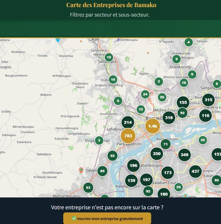
XplorGeo applies geospatial science to economic activity: locating companies, analysing catchment areas and optimizing your field routes. Our services:
Geolocated field data, delivered as interactive maps and decision-ready dashboards.
Geological database

Our exploration-and-production software, designed around real field workflows — from data capture to validation.
No server, no connection required.
Duplicates, blanks and standards automated.
Full interface in both languages.
Export to Leapfrog, Surpac, Datamine…
Our approach
From acquisition to delivery, we master every step of the data value chain.
We continuously explore new methods for acquiring and processing data.
Collection by high-resolution drones and satellites, matched to every project scale.
Seasoned professionals in geology, geospatial science and geomarketing.
FAQ
XplorGeo is a Malian company based in Bamako, specialising in exploration geology, geospatial science and geomarketing. We turn field data into reliable decisions.
We operate in Mali and more broadly across West Africa.
Three areas: GEOlogy (mineral exploration, from permit to resource estimation), GEOspatial (GIS, remote sensing and photogrammetry by drone and satellite) and GEOmarketing (economic mapping, catchment areas, route optimization).
XplorCore is the proprietary geological database software built by XplorGeo: offline-first, bilingual English/French, with automated QAQC and multi-format export, from collars to assays.
Yes. We connect mining-permit holders with investors across Mali and West Africa, with geological assessment and guaranteed confidentiality — see Submit a permit and Find a permit.
Through the Contact page, by email at contact@xplorgeo.com, or by phone at (+223) 66 75 61 97.
Contact
Let's talk about your geological and geospatial data needs — our team will get back to you.