GEOmarketing

Geospatial data driving your commercial performance

XplorGeo puts geospatial science to work for business: location intelligence, market analysis and optimisation of your field presence. Geolocated data, delivered as interactive maps and decision-ready dashboards.

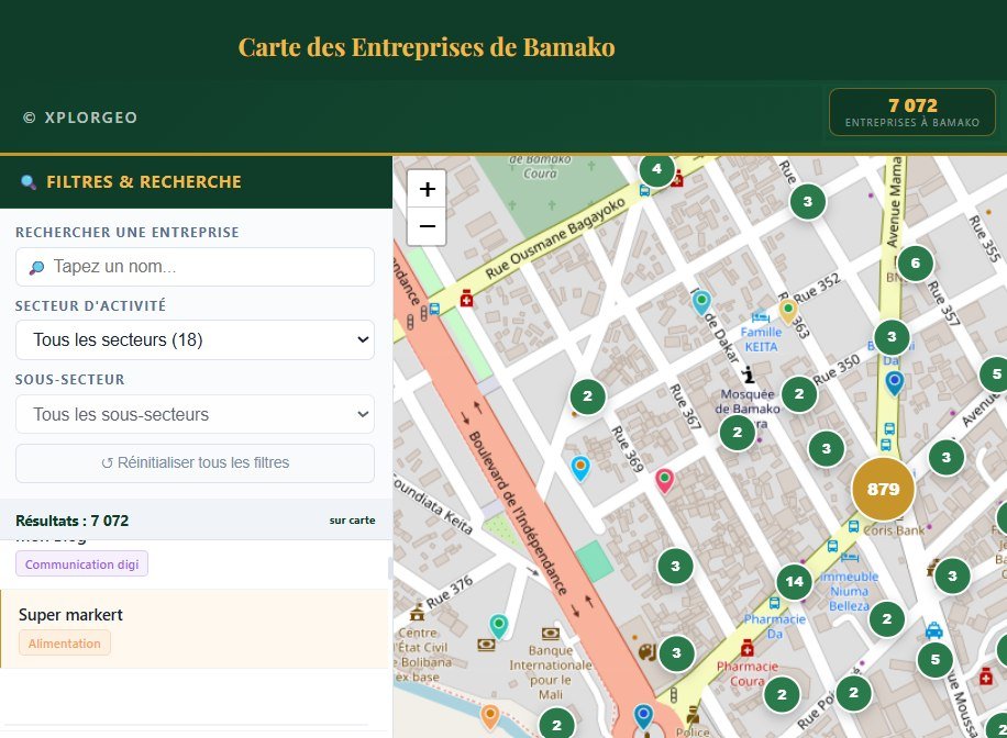
Interactive map of businesses in Bamako — XplorGeo application

Mapping of businesses and economic infrastructure

Field census and precise geolocation of shops, services, activity centres, markets, depots and public or private institutions.

Outcome: a usable database, an interactive map and a sector dashboard.

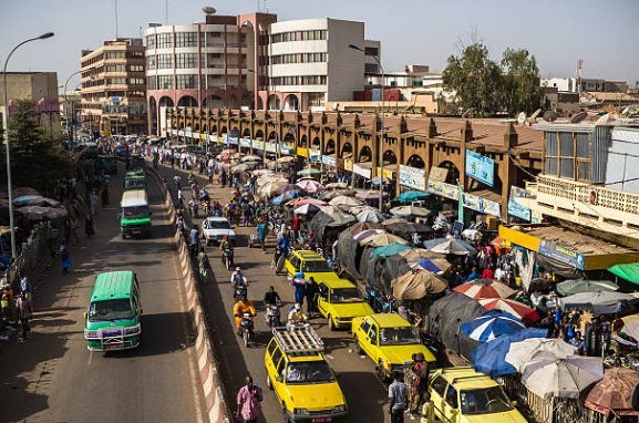
Busy commercial street in Bamako, Mali — catchment-area analysis

Catchment-area analysis and site selection

Understand your local market and choose the best locations, by combining field and mobility data.

Catchment areas

Study of commercial attractiveness around a point of sale: population density, competition, accessibility and mobility flows.
Outcome: a catchment map and recommendations to grow or optimise your presence.
Site selection

Identifying the best locations for a new shop, branch or warehouse, combining underserved areas, strategic routes, purchasing power and land availability.
Outcome: a decision-support sheet and scoring of potential sites.

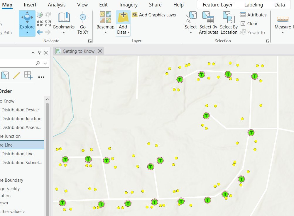
Distribution network mapped in a GIS — route optimization

Delivery and distribution route optimization

Analysis and modelling of delivery or distribution routes to reduce distances travelled, lead times and logistics costs.

Our models factor in field constraints — traffic, schedules, accessibility and customer clustering — to propose genuinely efficient routes.

Outcome: optimised route maps, smart round sequences and tailored recommendations.

Contact

Growing your commercial presence?

Location, catchment, site selection, routing — let's talk about your goals, our team will get back to you.