Detailed permit mapping
Photogrammetry, remote sensing and field measurements for precise mapping of your areas.
GEOlogy
A team of experienced professionals supports you at every stage, from permit to resources, in the field and in the data.
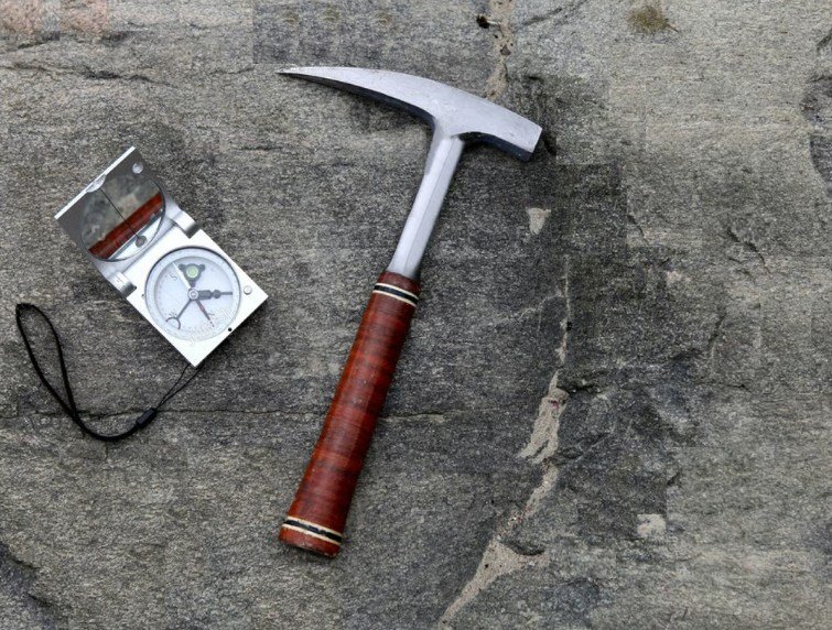
Complete strategic support to secure your mining titles and reveal their potential before committing investment.
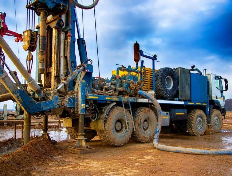
From mapping to drilling, we deploy your exploration programmes in the field, with the rigour and equipment suited to each stage.
Photogrammetry, remote sensing and field measurements for precise mapping of your areas.
Deployment of geophysical and geochemical programmes to target anomalies.
Pits, trenches and drilling (Auger, RC and Diamond core).
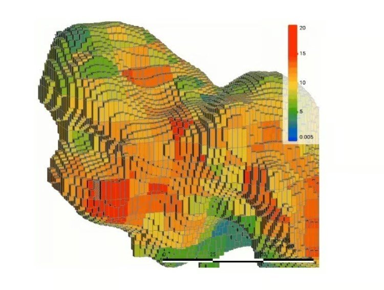
Turning exploration data into a reliable, traceable resource model you can defend to partners and investors.
Mining permits
Beyond exploration, XplorGeo connects permit holders and investors across Mali and West Africa — with geological assessment and guaranteed confidentiality.
Exploration or mining permit: we assess its potential and present it to our network of investors for a sale, transfer or partnership.
Submit a permitInvestor or mining company: describe your criteria, we identify matching permits and assess their potential before making introductions.
Find a permitOur software

XplorCore structures all your exploration-and-production data — from collars to assays — around real field workflows, from capture to validation.
No server, no connection required.
Duplicates, blanks and standards automated.
Full interface in both languages.
Export to Leapfrog, Surpac, Datamine…
Contact
From permit to resource estimation, let's talk about your project — our geology team will get back to you.